


Overview
RCAP Solutions offers comprehensive GIS (Geographic Information System) solutions designed to provide the latest web and mobile technologies to small, rural water and wastewater utilities. Harnessing the power of Esri’s GIS software and platform, we are able to tailor customizable GIS products specific to the needs of the community or utility.
Utilizing the newly developed Esri multi-tenant approach, RCAP Solutions is able to provide a high level service at an affordable cost for small utilities. We will work with your system to develop a GPS data collection and GIS mapping strategy that will allow the system to begin implementing web and mobile GIS maps very quickly and efficiently. The online web maps and apps provide significant value to community and utility secretaries, operators, managers and board members.
GIS Solutions
RCAP Solutions provides GIS data hosting and maintenance services throughout all of New England, New York, Pennsylvania, New Jersey, Puerto Rico, and the U.S. Virgin Islands. In addition to our full-time staff, we utilize the latest software, high-accuracy GPS units, wide format scanners and printers, and IT support to deliver comprehensive GIS and mapping services, including:
- GPS Data Collection
- Esri ArcGIS Online Solutions
- Esri Collector and Mobile Application Development
- Development of Asset Management Plans and Inventories
- GIS Maintenance and Support
- Large format GIS map printing and scanning
- GIS and Asset Management Training
- Customized solutions for rural water, wastewater, and stormwater utilities
Fee-For-Service
RCAP Solutions provides services on a very competitive fee-for-service basis. We will work with you to determine the best options for your community or utility.
Benefits of Working with RCAP Solutions
Our staff has demonstrated expertise and qualifications to help small and midsize communities with data collection and mapping. Our qualified team, combined with state-of-the-art equipment and software delivers an extremely accurate representation of a system. The benefits of working with RCAP Solutions for your GIS needs include:
- Greater efficiency and more productive field work
- Ability to view and track trends
- Mobile applications for daily workflows
- Ongoing RCAP training and support
- Reduced or eliminated use of outdated system maps
- Modern, cost-effective solutions for small, rural utilities
- Certified water and wastewater operators on RCAP staff
Education & Training
RCAP Solutions can help communities through webinars, on-site training, and workshops.
Our goal is for utilities to incorporate their GIS into daily workflows, and utilize the web and mobile apps to the fullest extent. This will occur when staff is equipped with the knowledge and have opportunities to reinforce learning through practice. We offer training in these areas:
- Systems Operations (Including GIS Mapping & Energy Audits)
- Asset Management for Water & Wastewater Systems
- And much more…
For a list of upcoming webinars and workshops, click here.
In addition to training sessions, we provide daily support to our communities to reflect their particular concerns or needs. While this may focus on answering questions regarding the use of the web and mobile apps, it also may be in the provision of: how-to guides and videos, GPS equipment manuals, guidance with equipment purchases, and troubleshooting equipment issues.
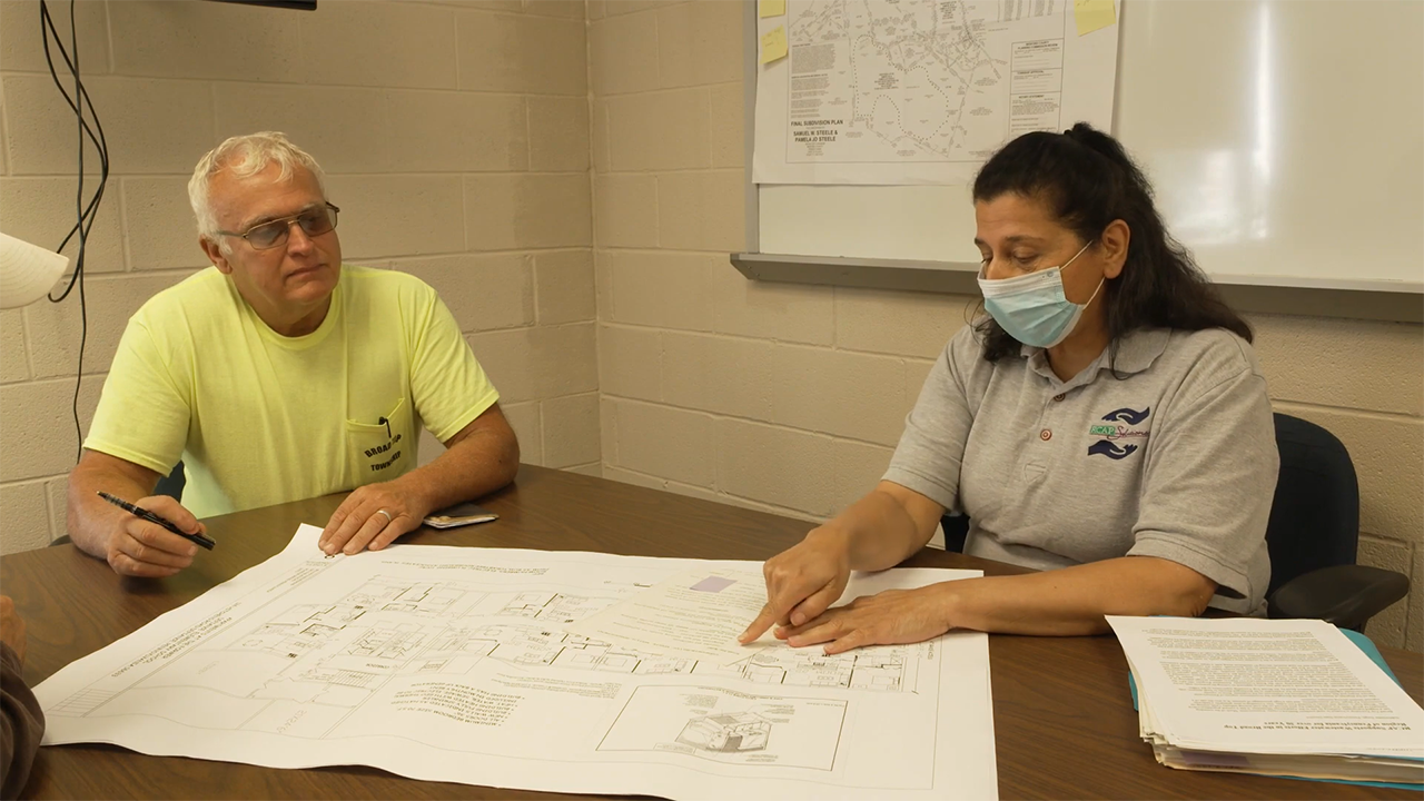
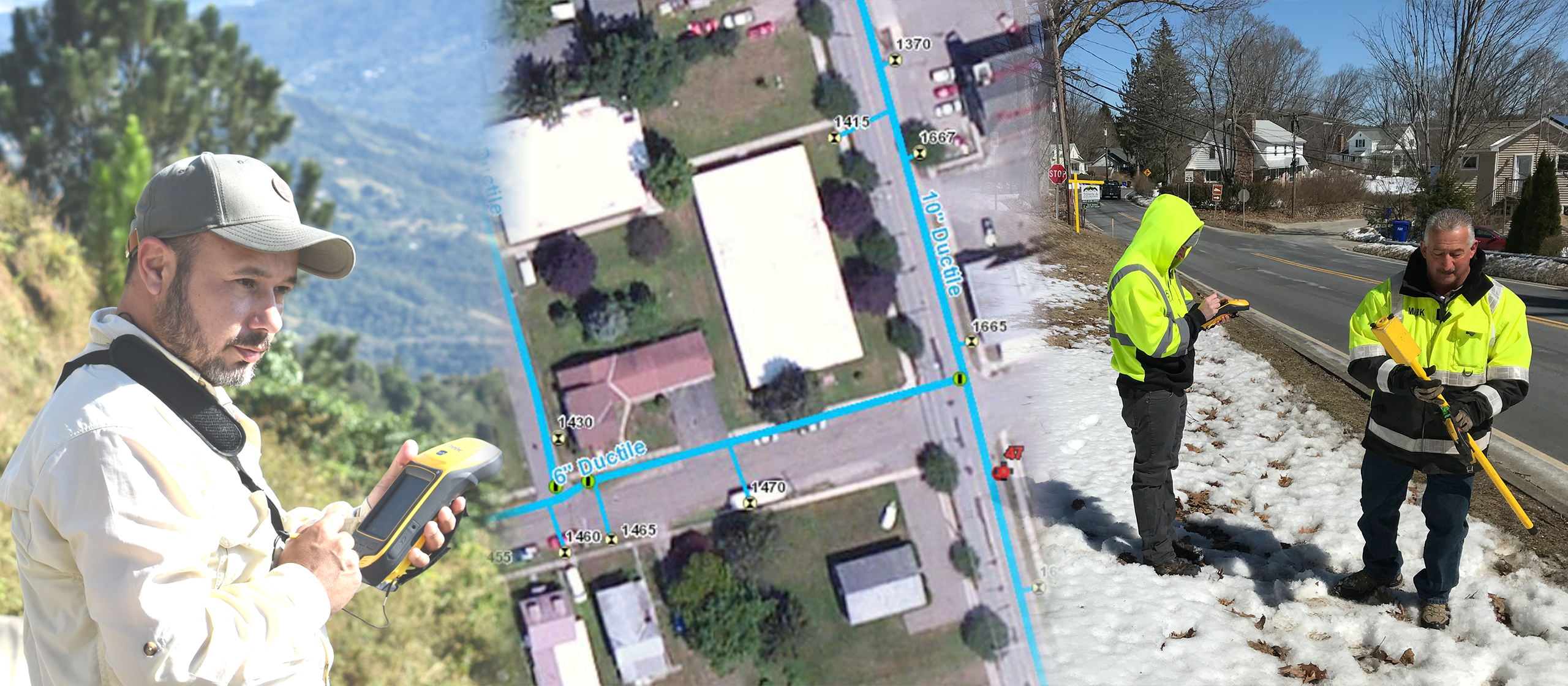
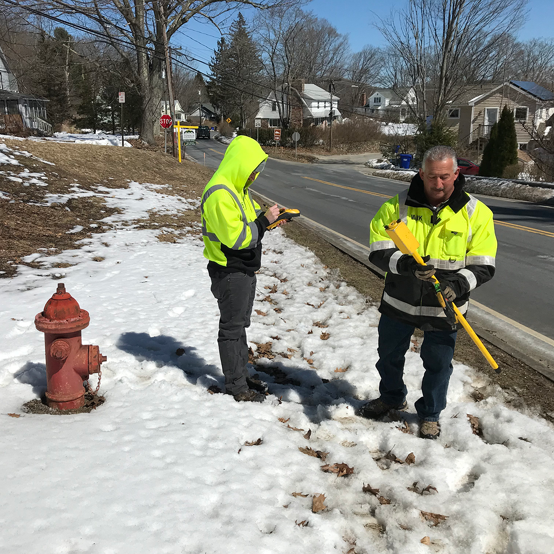
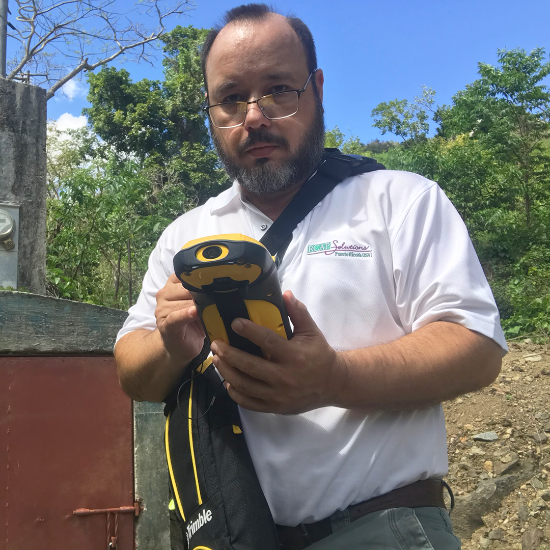
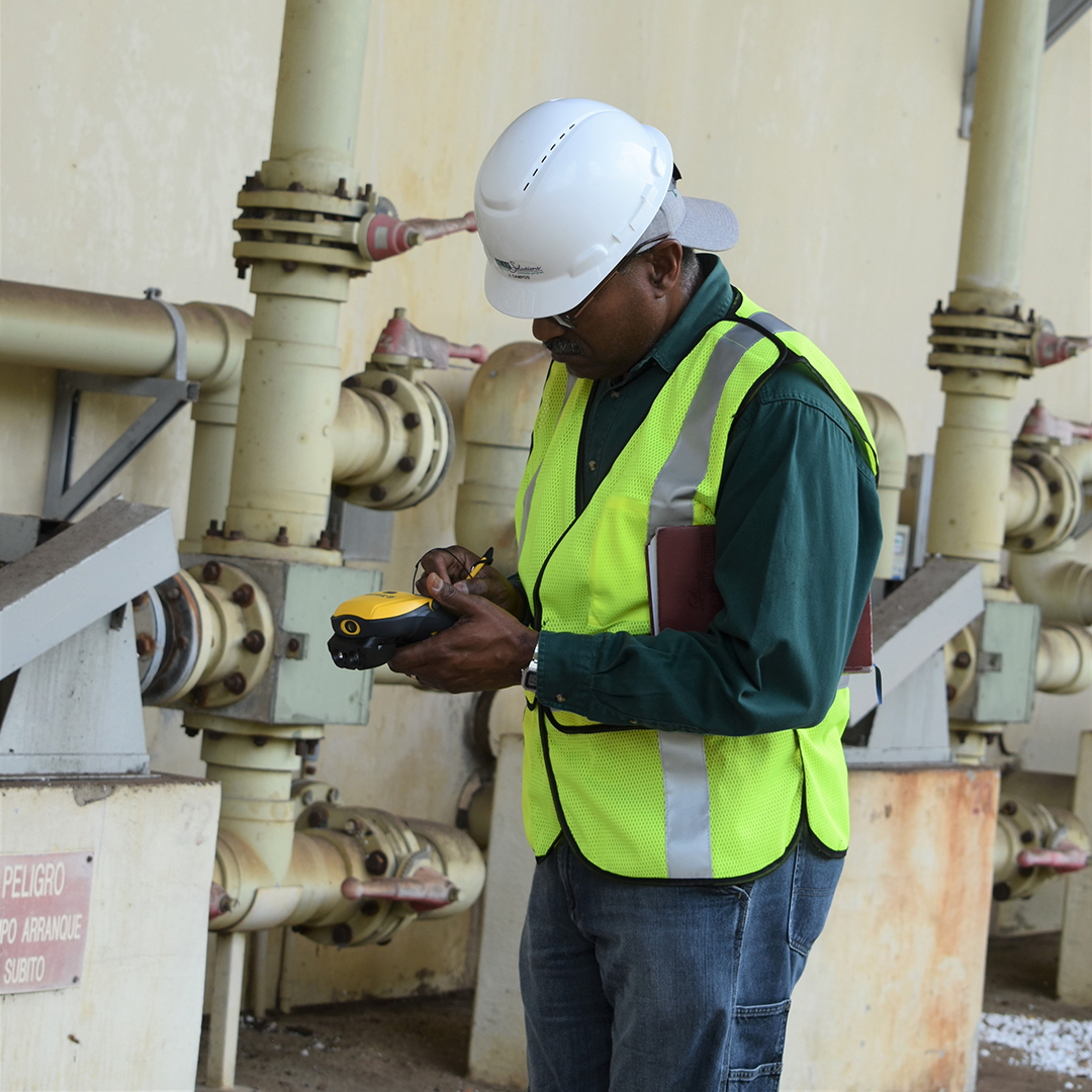
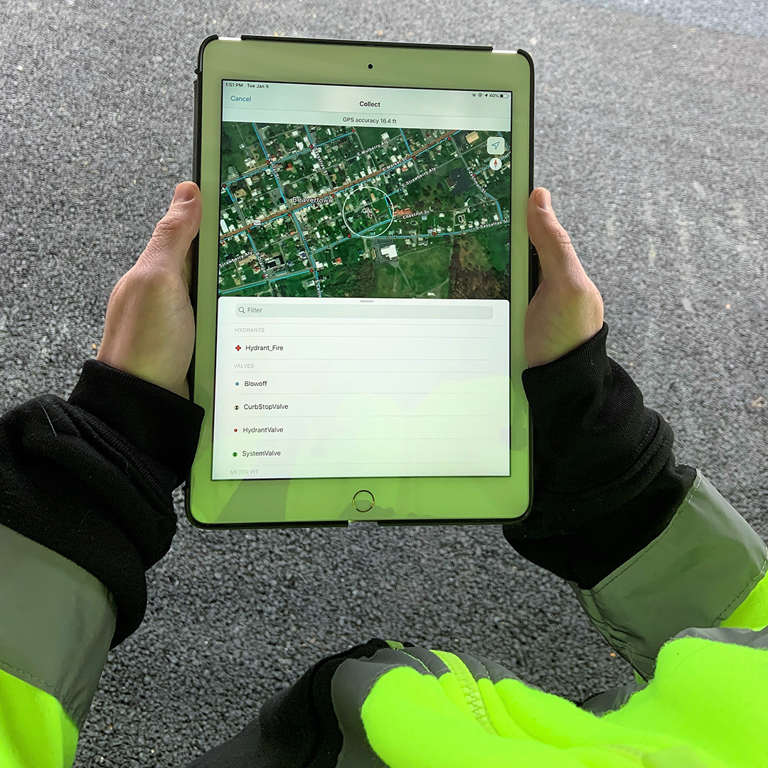
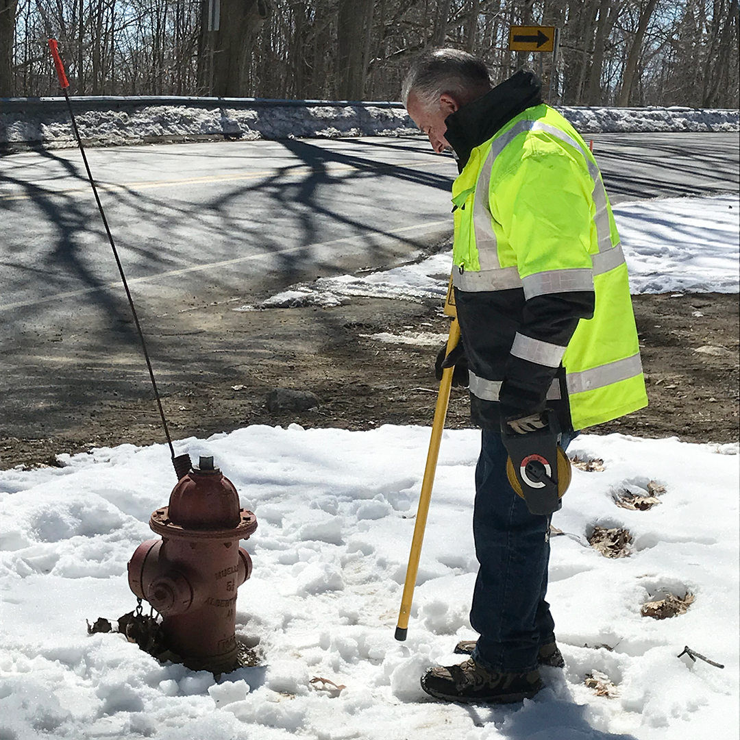
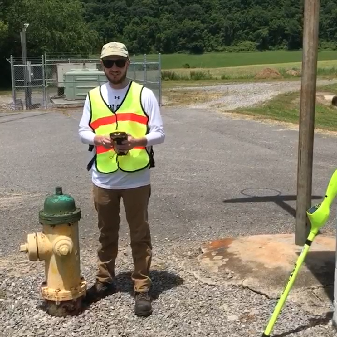
GIS Utility Mapping in Action!
Have questions? Looking for assistance?
If you have any questions or are interested in learning more about these services, please contact Seth Loht via email: sloht@rcapsolutions.org or phone: (814) 289-9340